
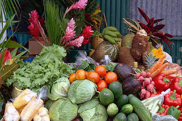
Geographic Information Systems (GIS) are quietly becoming one of the most important tools in modern agriculture. Most people hear “GIS” and think urban planning, utilities, or disaster management. But in the Caribbean, where farms are small, land is limited, and the climate is getting harsher, GIS is moving from “nice to have” to “survival kit.”
For Caribbean farmers, geospatial tools are starting to tackle very specific problems: erratic rainfall, drought, floods, soil loss, and the constant risk of market gluts that destroy prices. When you combine GIS with basic farm management and smart scheduling, you get something powerful: the ability to see your farm and your risks clearly, and plan around them instead of guessing.
for more info How GIS is Transforming Caribbean Agriculture – AgriFocus Caribbean Agriculture